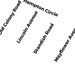
87 HAMPTON CIRCLE
Owner Information
ROSENBERG ERIC S TRS
87 HAMPTON CIR
HULL, MA 02045-2847


Property Details
87 HAMPTON CIRCLE is classified as a Single Family Residential (Col/old styl).
The primary structure on this property was built in 1888. There are 2,566ft2 of built area within this property. There is 2,566ft2 of residential/living space within this property. This property is listed as having 8 rooms.
87 HAMPTON CIRCLE is valued at $1,060,800. The land is valued at $401,500 and the structures are valued at $659,300.
This property is in Zone SFA. Confirm with local Zoning Board authorities to ensure there are no overlays or other easements on this property.
The most recent deed for 87 HAMPTON CIRCLE is recorded at the local registrar in Book 48389, Page 305. 87 HAMPTON CIRCLE was last sold on Friday, May 5, 2017 for $10.
Assessment data from fiscal year 2022.
Flood Data
This property is partially within the AE Zone (within floodplain). Approximately 0.14 acres (44.54%) of the property is within this zone.
The base flood elevation for this flood zone is 10 feet.
This information is sourced from the FEMA National Flood Hazard Layer. See our full disclamer.
Broadband Internet Providers
| Provider | Type | Bandwidth (mbps) | |
|---|---|---|---|
| Viasat Inc | Satellite | 100 | 3 |
| Comcast | Cable | 1000 | 35 |
Broadband service provider data from December 2020.